
Virtual hike: Descent from Cieślar Mountain through Soszów Wielki Mountain to Wisła Jurzyków, Poland
Route: Cieślar Mountain (921 m a.s.l.; 49.623253, 18.820342) – Soszów Wielki Mountain (886 m a.s.l.; 49.634081, 18.811705) – Soszów Wielki Mountain Shelter (792 m a.s.l.; 49.639278, 18.813740) – Douglas fir (748 m a.s.l.; 49.635210, 18.820159) – Wisła Jurzyków (545 m a.s.l.; 49.632607, 18.845657)
Trail designation: red trail, green trail, roads marked on the map
Length: about 5.3 km
Walking time: about 2:00 h
Sum of approaches: 44 m
Sum down: 430 m
00:01:02 Cieślar Mountain
00:32:21 Soszów Wielki Mountain
00:42:41 Crossing of trails
00:43:43 Soszów Wielki Mountain Shelter
00:47:52 Jawornik Stream
00:51:37 Crossing of trails
00:54:14 Stream
00:57:00 Going off the trail
01:02:39 Douglas fir
01:06:04 Return to the green trail
01:09:42 Wisła Przelacz
01:14:30 Going off the trail
01:20:15 Crossroads
01:42:15 Dziechcinka Stream
01:43:09 Wisła Jurzyków
Soszów Wielki – a peak at an elevation of 886 meters above sea level in the Silesian Beskid Mountains on the Polish-Czech border. It is located in the central part of the Stożek and Czantoria Range. To the north, it borders Szoszów Mały and to the south, Cieślar. The eastern slopes descend to the Jawornik Stream, while the western slopes descend to the Hluchová Stream.
Soszów Wielki is composed of Carpathian flysch, alternating layers of sedimentary rocks that formed on the floor of a former ocean during the Cretaceous period. This entire massif belongs to a larger tectonic structure called the Silesian Nappe.
The main building material of the peak and the upper slopes is the Middle Godula Beds. They consist of thick beds of hard sandstone with a characteristic greenish tint (derived from the mineral glauconite), separated by thinner layers of clay shale. The lower slopes and foothills of the mountain, in turn, are formed by the older, darker Lower Godula Beds, where soft shales predominate.
This geological structure directly influences the terrain. Weathering-resistant sandstones allow the Soszów ridge to retain its height and steep slopes. At the same time, the rock arrangement—where permeable sandstones rest on impermeable shales—favors the formation of natural landslides on the mountain slopes.
Soszów Wielki is largely covered by lower montane forests, but their structure is dual. The natural vegetation of this massif consists of deciduous and mixed forests, dominated by fertile and acidic Carpathian beech forests. The forest stands of these forests are dominated by common beech, with a natural admixture of silver fir and sycamore.
In addition to the natural forests, artificial spruce forests are very common on the mountain slopes. These are the result of former 19th-century forest management, when the original beech and fir forests were massively cut down and replaced with rapidly growing spruce. Currently, tree regeneration is underway in these areas, aiming to restore the natural biological balance.
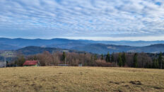
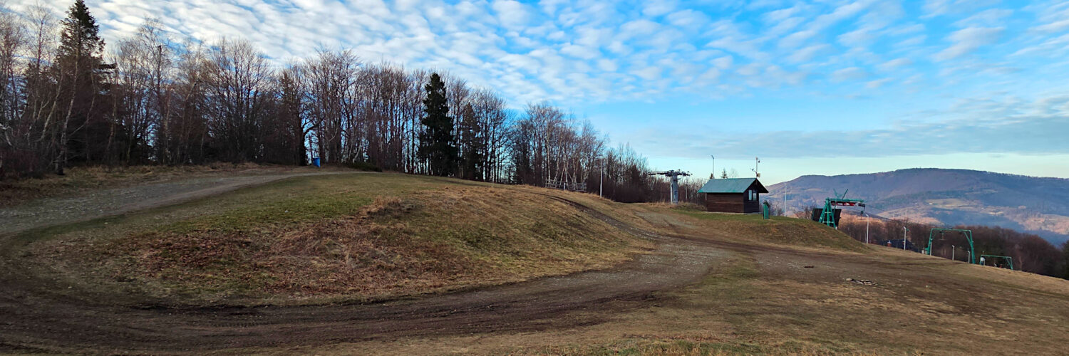
A characteristic feature of Soszów Wielki is the uneven forest cover. The forest is regularly interrupted by extensive, scenic clearings on the ridge and below the summit, which were created as a result of former pastoral activity and now serve as a ski and tourist infrastructure.
From the summit of Soszów, a wide view of the Silesian Beskid Mountains, the Żywiec-Orawa Beskid Mountains, the Tatra Mountains, and the Żywiec-Kysuce Beskid Mountains unfolds to the east and south.
At the summit, the red-marked Main Beskid Trail intersects with the blue-marked Wisła – Nýdek, Nýdečanka hiking trail.
Hike recorded on December 18, 2025.