
Virtual hike: Ascent to Cieślar Mountain from Wisła Jurzyków, Poland
Route: Wisła Jurzyków (545 m a.s.l.; 49.632607, 18.845657) – Krzakoska Rock (720 m a.s.l.; 49.629962, 18.855881) – Kobyla Mountain (802 m a.s.l.; 49.624994, 18.854612) – Kobyla Sałasz (780 m a.s.l.; 49.618622, 18.834947) – Stożek Mały Mountain (843 m a.s.l.; 49.614762, 18.824438) – Cieślar Mountain (921 m a.s.l.; 49.623253, 18.820342)
Trail designation: yellow trail, blue trail, red trail
Length: about 6.9 km
Walking time: about 2:50 h
Sum of approaches: 724 m
Sum down: 87 m
00:00:18 Wisła Jurzyków
00:01:05 Dziechcinka Stream
00:04:03 Dziechcinka Stream
00:14:44 Stream
00:19:59 Going off the trail
00:25:23 Stream
00:40:08 Blue trail
00:45:38 Krzakoska Rock
00:52:30 Going off the trail
01:10:56 Kobyla Mountain
01:20:21 Spring
01:28:24 Blue trail
01:43:32 Kobyla Sałasz
02:00:48 Crossing of trails
02:03:57 Stożek Mały Mountain
02:30:10 Cieślar Mountain
Cieślar Mountain – a peak at 921 meters above sea level in the Silesian Beskid Mountains on the Polish-Czech border. It is located in the central part of the Stożek and Czantoria mountain ranges. To the north, it borders Soszów Wielki and to the south, Stożek Mały. The western slopes descend to the Hluchová Stream on the Czech side, while the eastern slopes descend to the Dziechcinka Stream on the Polish side.
Tectonics-wise, Cieślar lies within the Silesian Nappe, specifically within its subunit known as the Godula Plate. This entire area was folded and thrust northward during the orogenic movements of the Alpine orogeny in the Tertiary, creating a complex structure of tectonic plates.
The main building material of the Cieślar Massif is flysch sediments, alternating layers of marine sedimentary rocks deposited in the former Tethys Ocean during the Cretaceous and Paleogene periods. The summit and ridge are dominated by the Lower Istebna Beds, represented by thick-bedded, coarse-grained arkosic sandstones and conglomerates. These rocks are rich in quartz and feldspar grains, have a light gray color that weathers to a rusty hue, and are characterized by very high resistance to erosion.
The deeper basement and lower slopes are composed of older Godula Beds, composed of fine- and medium-grained sandstones with a silica or clay cement. Interspersed between the hard sandstone beds of both formations are packets of much softer, weather-prone dark shales and mudstones. It is this cyclical alternation of hard sandstones and susceptible shales that determines the contemporary relief.
Selective weathering has resulted in the resistant Istebna sandstones forming the ridge and slightly flattened summit dome of Cieślar, covered with acidic brown soils and abundant rock debris. In turn, the presence of soft shales on the steep slopes, combined with the inclination of the rock layers, favors the formation of local landslides and landslide niches, which are a natural and constantly active feature of the region’s topography.
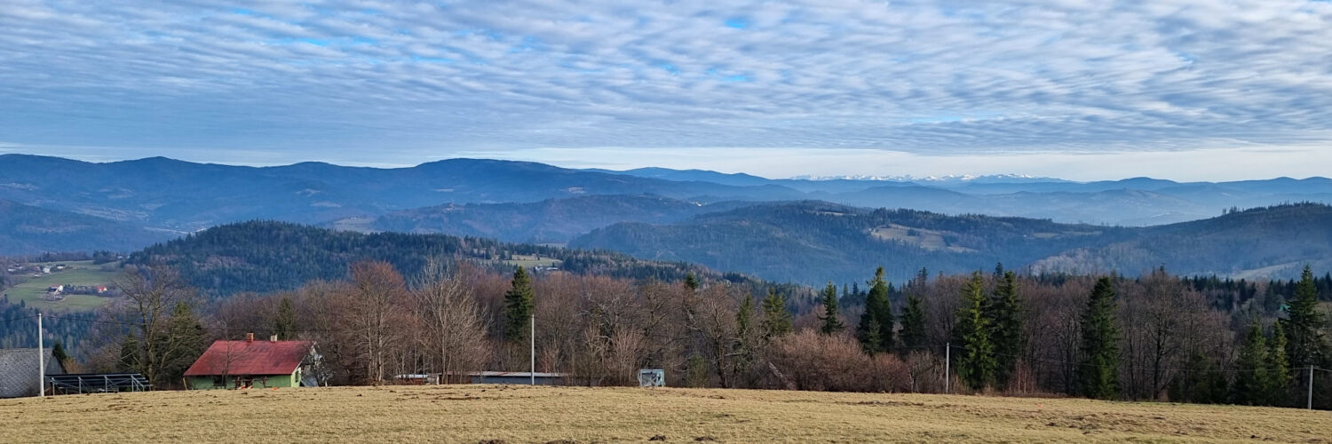
The summit and eastern slopes are largely covered with clearings, often former pastures. From the summit, a broad panorama of the Silesian Beskid Mountains, the Żywiec-Orawa Beskid Mountains, and the Żywiec-Kysuce Beskid Mountains unfolds, and on clear days, the Tatra Mountains are visible.
The slopes of Cieślar are covered with a forest typical of the lower montane zone of the Silesian Beskids. The natural and most stable forest community in this area is deciduous and mixed forest, dominated by European beech and silver fir, known as the fertile Carpathian beech forest. The best-preserved sections of these forests can be found on the lower, wetter parts of the slopes and in the valleys of nearby streams.
However, a significant portion of the slopes is occupied by spruce monocultures, the result of artificial plantings in the 19th century. Because the even-aged spruce forests are vulnerable to winds and pest attacks, foresters are currently rebuilding them, gradually restoring the natural stand of beech, fir, and sycamore.
The red-marked Main Beskid Trail named after Kazimierz Sosnowski runs through the peak.
Hike recorded on December 18, 2025.